A Guide to Provincial Information on Ecosystems and Ecological Communities in Coastal British Columbia
The province has produced a new document to help people navigate their way through the classification of ecosystems in BC, how this links to their conservation status and how this subsequently guides the provinces approach to land management.
It also provides clarification on how the classification of ecosystems in tools such as Terrestrial Ecosystem Mapping (TEM) links to the Conservation Data Centre (CDC) classification of ecological communities at risk, which both use different referencing to describe the same ecosystems.
This document also highlights where to find information through provincial internet resources and partner agencies.
Guidelines for Translocation of Plant Species at Risk in British Columbia
Translocation is the deliberate moving of propagules and/or plants from one location to another location in the wild in order to mitigate threats and assist in the recovery of the species. There are increasing recommendations for translocations to be part of recovery planning for plant species at risk in British Columbia, and translocations of some species at risk have already occurred in the province. However, there are significant risks associated with translocations, in particular those that are poorly planned. In 2009 Carrina Maslovat prepared for the Ministry of Environment guidelines on how translocation could be approached.
Tools for Conservation on Private Lands
The majority of the CDFmm and CWHxm1 is within private ownership. Regulation can be used to influence how these lands are used but often incentives are a more effective way to achieve the outcomes that the wider community are looking for. Colorado State University have produced a report that reviews the different approaches that have been taken to incentives. The tool selected will depend on available funding, the desired conservation outcomes and the landowners interest in receiving and incentive.
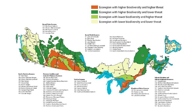
Southern Canada’s crisis ecoregions: identifying the most significant and threatened places for biodiversity conservation
Kraus and Hebb (2020) reviewed the ecoregions in Canada to identify the most significant and threated places for biodiversity. This highlighted the lower mainland of BC and East Vancouver Island as two of the nine areas identified to have the highest biodiversity and also the highest threat due to urban and agricultural expansion.
CDFCP Biodiversity Mapping Reports
To understand gaps and opportunities in relation to biodiversity mapping on the south-west coast of BC, CDFCP and UBC Botanical Gardens staff and consultants completed in depth interviews with local government and First Nations planners, mapping experts from provincial and federal government and the private sector and environmental non-governmental organization’s (eNGOs). This work highlighted;
- Provincial and federal government mapping is usually at a large scale not suitable for local planning.
- Mapping is expensive to do so can be out of date or is focused on small study areas.
The information collected through interviews is being used to develop a Biodiversity Atlas for First Nations and local governments on the south-west coast of BC by UBC Botanical Gardens and the CDFCP in 2023-26.
Transition Salt Spring – Watershed Resilience Technical Guide
The Maxwell Creek Watershed Project aims to create a demonstration site to show how active forest management techniques can;
- improve forest ecological integrity;
- reduce the risk of catastrophic wildfire; and
- improve water quality and quantity (supply).
The full report can be accessed by clicking the link below.
Use of Density Transfer Policies in the Coastal Douglas-fir Moist Maritime Subzone
Density Transfer is a planning tool that can incentivize the movement of development potential from land of high nature conservation value to land where higher density development would be more appropriate e.g. within the urban containment boundary. This means the tool can help planners respond to the need for affordable housing while protecting nature based solutions to climate change and to enable biodiversity protection.
Derrick Teo a UBC Sustainability Scholar undertook a review of Official Community Plans within the focus area of the Coastal Douglas-fir Conservation Partnership to understand the policy currently in place for Density Transfer. The next stage of the project involved speaking to planners to hear about the lessons they had learnt on the implementation of density transfer and to identify potential improvements for the implementation of this tool.
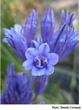
Species at Risk in the CDFCP Boundary recorded on CDC iMap
The Coastal Douglas-fir moist maritime biogeoclimatic subzone (CDFmm) and the Coastal Western Hemlock very dry maritime biogeoclimatic zubzone (CWHxm) have been significantly impacted by land use change. This has lead to many of the species that depend on these communities being rank as blue or red listed by the provincial government and listed on Schedule 1 of the Species at Risk Act 2022 (SARA)
Red List species are or have populations that are endangered, threatened or extirpated.
Blue List species are of special concern because they have biological or life-history characteristics that make them particularly vulnerable to natural or human-caused disturbance.
Critical habitat is the habitat necessary for the survival or recovery of endangered, threatened or extirpated species in Schedule 1 of SARA.

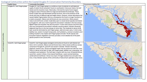
Ecological Communities in the CDFCP Boundary
The CDFCP boundary includes the Coastal Douglas-fir moist maritime biogeoclimatic subzone (CDFmm), the Coastal Western Hemlock very dry maritime biogeoclimatic subzone (CWHxm) and components of watersheds and islands that relate to the CDFmm and the CWHxm. Click here for a map of the area.
The CDFCP boundary includes ‘At Risk’ ecological communities and we are currently developing a resource to illustrate the nature of these communities. This includes a description of key indicator plant species obtained from the BC Species and Ecosystems explorer and occurrences of the communities held by the BC Conservation Data Centre. We are currently looking for photos that would describe each of these communities. If you can help please contact info@cdfcp.ca.
CDF Brochure for Landowners
In collaboration with our partners at Islands Trust Conservancy and Raincoast Conservation Foundation, the CDFCP have created a brochure to help landowners to learn about what CDF ecosystems are, why they are important, why they are at risk, and what they can do with their land to support the stewardship and conservation of CDF ecosystems.
Conservation Planning in Coastal Douglas-fir Ecosystems: A Quick Guide for Local Government
“Conservation Planning in Coastal Douglas-fir Ecosystems: A Quick Guide for Local Government” was created to help local government staff implement conservation planning for CDF ecosystems by increasing awareness of available conservation planning resources.
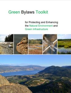
The Green Bylaws Toolkit
Stewardship Centre for British Columbia
The Green Bylaws Toolkit for Conserving Sensitive Ecosystems and Green Infrastructure was originally published in 2007 and updated in 2016 for use by land-use planners and decision-makers. With its practical approach and actual bylaw wording, the Green Bylaws Toolkit was immediately put to use and since then, land use practitioners have adopted it as a core resource in their planning practices.
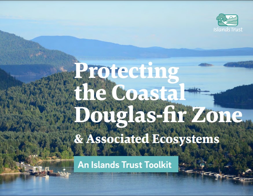
Protecting the Coastal Douglas-fir Zone and Associated Ecosystems – An Islands Trust Toolkit.
The toolkit was developed with the intention of improving the protection of Coastal Douglas-fir and its Associated Ecosystems (CDFAE). The intent was that Islands Trust policy would be guided by the following objectives when advancing Coastal Douglas-fir protection throughout the Islands Trust Area:
- maintain contiguous forest cover
- protect and restore functioning ecosystems
- protect watershed ecology
- honour Coast Salish cultural heritage
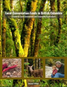
Local Conservation Funds in British Columbia
A conservation fund is a local government service that is funded through a dedicated tax or fee and used to support environmental conservation and community sustainability projects. The regional district or municipality that holds the conservation fund decides which projects to support according to criteria in the fund’s terms of reference e.g. protecting clean water sources and conserving natural areas for people to enjoy.
This document presents the steps a local government would follow to establish a Conservation Fund.
Silviculture Practices for Enhancing Old Forest Stand Structure in Red and Blue Listed Plant Communities in the CDFmm
This document has been prepared and released as an interim document to provide guidance to practicing professional foresters who are tasked with preparing plans and prescriptions for clients with tenure under the Forest Act in the Coastal Douglas-fir biogeoclimatic zone (CDFmm). These foresters are tasked with professional responsibilities for developing plans and prescriptions on crown land which
balance the needs and tenure rights of their clients with that of public expectations and species at risk.
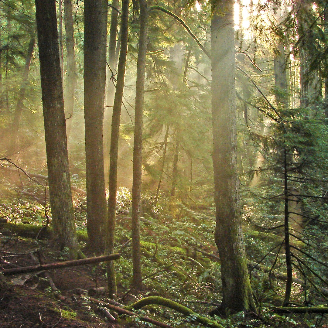
Photo by Tom Whitfield Brown Property Preservation Society
Review of Landcover Classification
To guide consultation on landcover classifications for the Biodiversity Atlas which is currently in development by the CDFCP, UBC Botanical Gardens and UBC Okanagan. We have shared a table presenting the different land cover classification tools that are currently available and provided two examples of land cover mapping to illustrate that the classes used can significantly impact on the product.
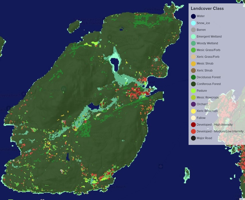
Image taken from TerrAdapt


